Vancouver Island Map
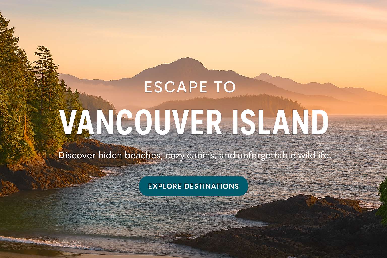
Vancouver Island is in the northeastern Pacific Ocean, just off the coast of Canada. It is part of the Canadian province of British Columbia. The island is 460 kilometres (290 mi) in length, 100 kilometres (62 mi) in width at its widest point, and 32,134 km2 (12,407 sq mi) in area. It is the largest island on the West Coast of North America.
Area: 31,285 km²
Population: 864,864 as of 2021
Pop. density: 23.94 /km2 (62 /sq mi)
Location: Pacific Ocean, on Canada's southern west coast

Vancouver Island map listing cities from Victoria in the South to
Port Hardy in the North, also shown are the the main highways, Highway
1, Highway 19, and Highway 19A.
Vancouver Island Cities and Towns has been designed to assist all
visitors vacationing on the island. We would like
you to experience an enjoyable vacation. For the camping
enthusiasts there are over twenty provisional campgrounds available and
literally dozens of privately owned RV parks on the island.
Vancouver
Island offers something for every one on vacation. There are many
outdoor experiences you will be able to enjoy, fishing, golfing, horse
back riding, parks you can trail walk and of course grizzly and black
bear tours just to name a few activities.